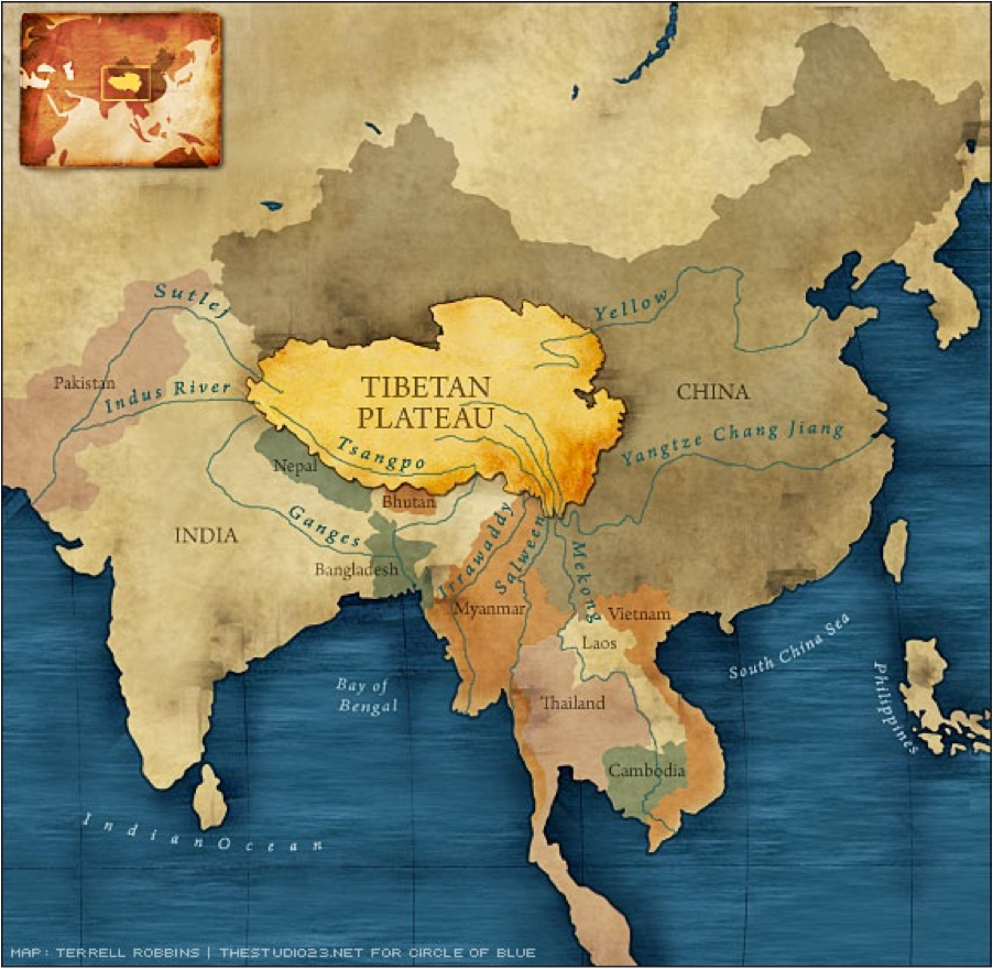
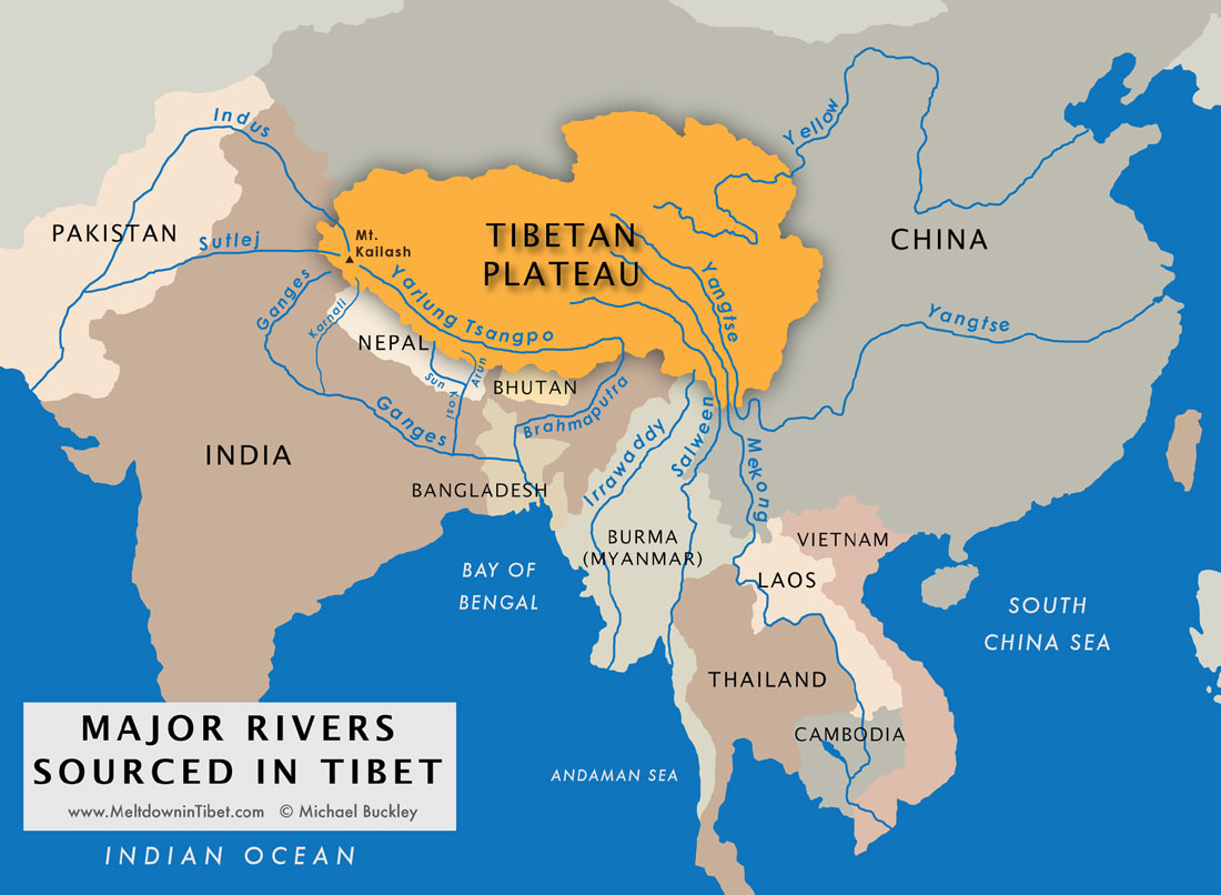
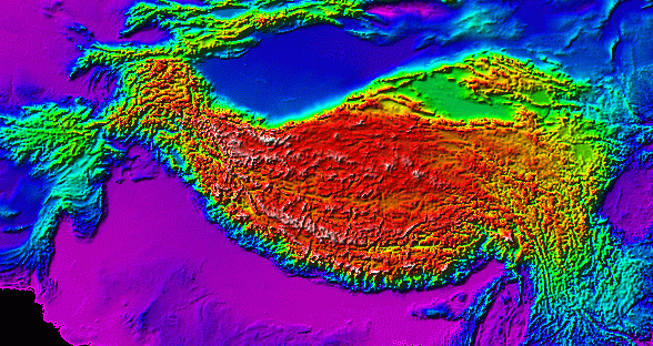
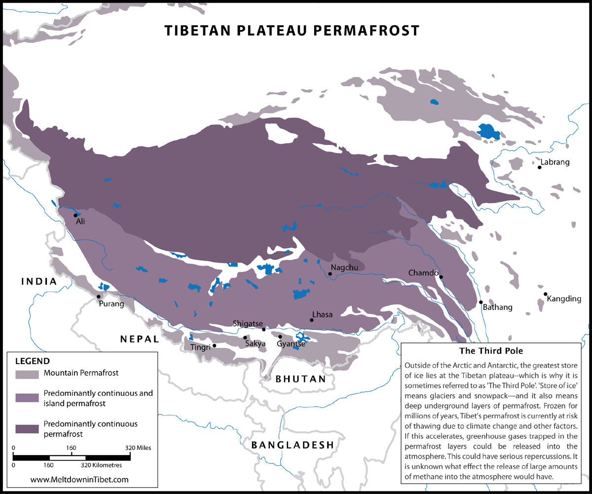
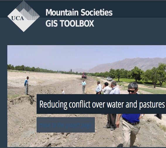
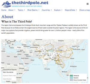
Maps & GIS
Map Compilation
Maps
![Source of Asia's Rivers](http://tibetanplateau.org/wp-content/uploads/2013/11/TibetanPlateauPicture2-150x150.png)
(Circle of Blue)
![Source](http://tibetanplateau.org/wp-content/uploads/2013/11/plateaumap_lg-150x150.jpg)
(MeltdowninTibet.com)
![Water Tower of Asia (UNEP/GRID-Arendal)](http://tibetanplateau.org/wp-content/uploads/2013/11/water-towers-of-asia-glaciers-water-and-population-in-the-greater-himalayas-hindu-kush-tien-shan-tibet-region_14b9-150x150.jpg)
![Geology of the Tibetan Plateau](http://tibetanplateau.org/wp-content/uploads/2013/11/topotibet1-150x150.gif)
(James H Wittke)
![Source:](http://tibetanplateau.org/wp-content/uploads/2013/11/map_permafrost_lg-150x150.gif)
(MeltdowninTibet.com)
GIS
KLINK https://klink.asia/
![CDE CDE GIS Pamirs](http://tibetanplateau.org/wp-content/uploads/2013/11/CDE-GIS-Pamirs.png)
![MSRI Toolbox](http://tibetanplateau.org/wp-content/uploads/2013/11/MSRI-Toolbox.png)
![TheThirdPole](http://tibetanplateau.org/wp-content/uploads/2013/11/TheThirdPole-300x280.png)
Map Compilation
Maps
GIS
KLINK https://klink.asia/